

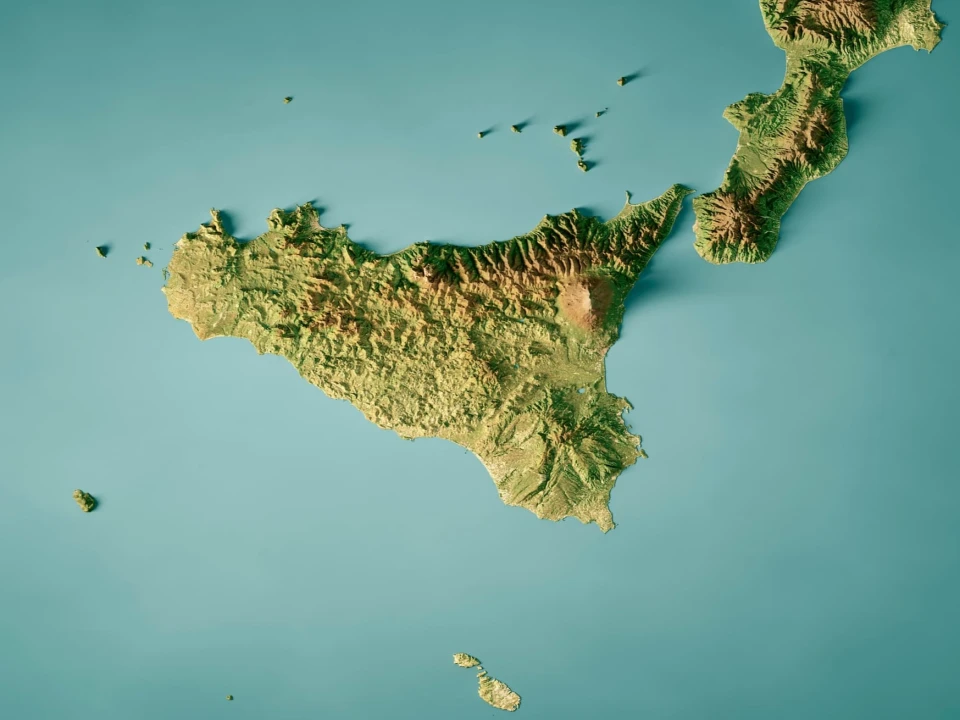
A landscape now hidden beneath the Mediterranean is revealing a remarkable chapter in the geological history of Sicily and Malta. Italian and Maltese researchers have mapped the remains of an ancient land connection that once joined southeastern Sicily with Malta and Gozo.
The discovery comes from the BRIDGES scientific campaign, conducted aboard the Italian National Research Council's oceanographic vessel Gaia Blu. The project brings together researchers from CNR's Institute of Marine Sciences, Italy's National Institute of Oceanography and Applied Geophysics and the University of Malta.
Today, Sicily and Malta are separated by more than 90 kilometers, or about 56 miles, of sea. During the last Ice Age, however, global sea levels were approximately 130 meters – 427 feet – lower than today. Large areas of the present seabed were consequently exposed.
The connection remained largely continuous for thousands of years before rising seas submerged it around 13,000 years ago.
High-resolution mapping has now revealed that the vanished landscape was considerably more complex than a simple strip of land. Researchers identified ridges extending for dozens of kilometers, together with depressions, basins and former lagoons. The terrain may have resembled today's tropical platforms, with low areas protected by natural barriers.
Scientists also collected sediment cores containing ancient marine deposits. Laboratory analysis and radiocarbon dating of fossil fragments could help reconstruct how the environment changed as the Mediterranean rose.
The findings also have archaeological significance. Evidence shows hunter-gatherers were living on Malta approximately 8,500 years ago – around 4,500 years after the land connection had disappeared.
The Italian-led research is therefore providing a new map of a lost Mediterranean world – and new clues about how ancient landscapes, animals and human populations interacted over thousands of years.