
New York City will update its immigrant neighborhood map to include Little Italy, recognizing one of the places that helped shape the city’s global identity. Mayor Zohran Mamdani said the revision would follow public interest in the historic Manhattan district and reaffirmed the value of Italian American contributions.
The map accompanied the 2026 edition of The Newest New Yorkers, the city’s broadest portrait of residents born abroad. It was the report’s first update since 2013 and its first interactive online edition. City data show that 3.1 million immigrants live across the 5 boroughs.
They represent more than one-third of New York’s population and 43% of its workforce. Nearly half of residents speak a language other than English at home, while two-thirds are first- or second-generation New Yorkers.
The original illustrations highlighted present-day immigrant hubs, including communities associated with China, Haiti, Mexico, Colombia, Yemen, Albania, Bangladesh, the Dominican Republic, and other places. City officials explained that the collection was designed as a selection rather than a complete inventory.
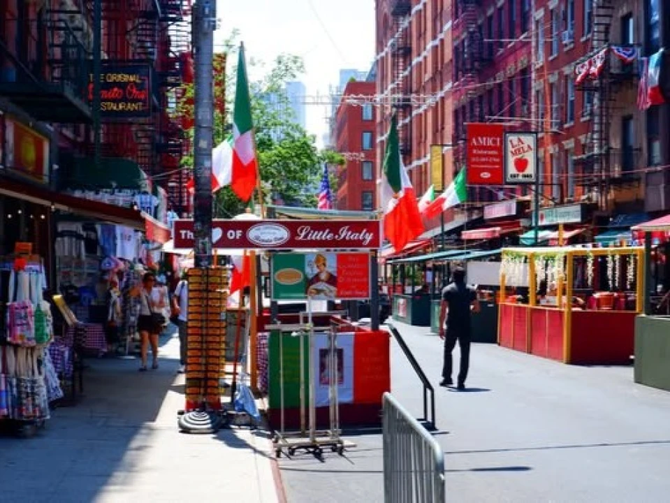
Adding Little Italy broadens that picture by connecting current migration with the neighborhoods built by earlier generations. Centered around Mulberry Street, the district remains known for restaurants, specialty shops, the Italian American Museum, and the annual Feast of San Gennaro each September.
The revised map offers a constructive bridge between history and today’s demographic landscape – honoring an Italian American landmark while celebrating the 3.1 million immigrants who continue to enrich New York’s economy, neighborhoods, languages, and culture for residents and visitors alike.