
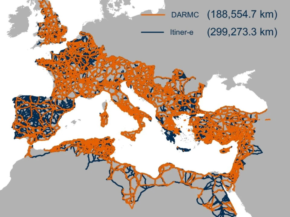
The roads of ancient Rome are getting a remarkable second life online. Itiner-e, an ambitious open digital atlas, is reconstructing the transportation network that once connected an empire stretching across Europe, North Africa and the Middle East – allowing anyone today to explore Roman mobility with a level of detail that earlier generations of historians could only imagine.
The project brings together archaeological discoveries, historical sources, ancient itineraries, milestones, excavation reports, topographic maps, aerial photography and satellite imagery. The result is the most extensive digital reconstruction yet produced of the Roman Empire’s terrestrial road system.