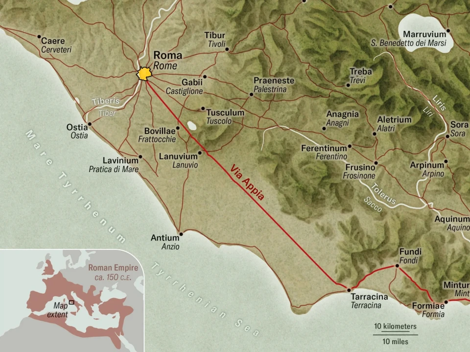
In a recent visit to Rome I walked along the Via Appia (also called the Appian Way), past the presumed house of Stoic philosopher Seneca, and felt transported in time. Constructed starting in 312 B.C.E. to carry troops southeast toward Capua and, eventually, the port city of Brindisi in the heel of Italy’s boot, the Via Appia is the oldest and best-known road of the Roman Empire.
Scholars have long regarded it as the quintessential Roman road: a straight highway extending as far as the eye can see, paved with slabs of volcanic stone, lined with pointy cypress trees and, of course, connecting to Rome.